UK Weather Forecast – 9th May

UK Weather Forecast – Monday 9th May SYNOPTIC SUMMARY Frontal system affecting northwestern areas including Scotland to start the day. Higher pressure across England and Wales slowing down the advancing front through the day, however, eventually lower pressure winning out from the west/north-west with some wet weather moving into NW/N England, Wales and SW England tonight. The high pressure to the south and east of the UK certainly decaying the system as it advances. TODAY’S FORECAST A wet start for northwest Scotland, W Scotland and Northern Ireland with some patchy rain moving into SW Scotland this morning. For much of England and Wales it is a bright and dry start to the day. A chillier start to the day for …

Read More »

Scotcoin Sponsors RealWeather

We are Scotcoin – sponsors of Real Weather. We are a crypto currency that’s bit different. Actually, a lot different. We are an ethical currency, caring about the environment and helping people is what we do. If you’d like to find out more about us then simply email: info@scotcoinproject.com And if you’d like your own FREE! Scotcoin account just visit: Scotscan.io Visit our website for more information: www.scotcoinproject.com

Read More »

Heavy downpours with a risk of thunder

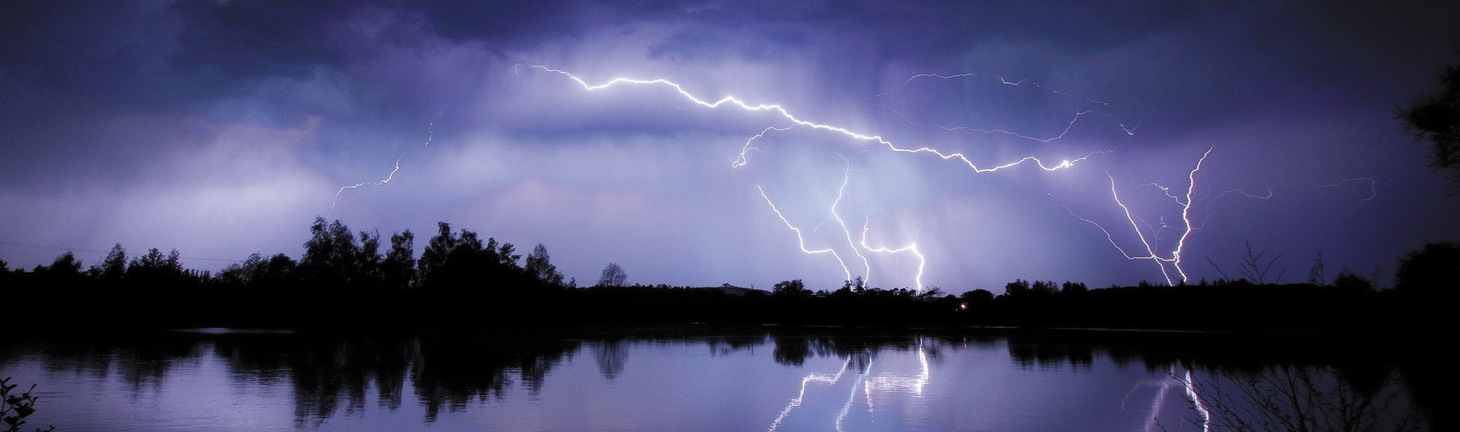
Plenty of showers to come across the United Kingdom today. The showers will turn increasingly heavy and locally thundery, especially across E Scotland, NE England, E England and South-East England during the afternoon and early evening period. Torrential downpours may lead to localised flash flooding.

Read More »

Heavy and at times thundery rain pushing northeastwards tomorrow

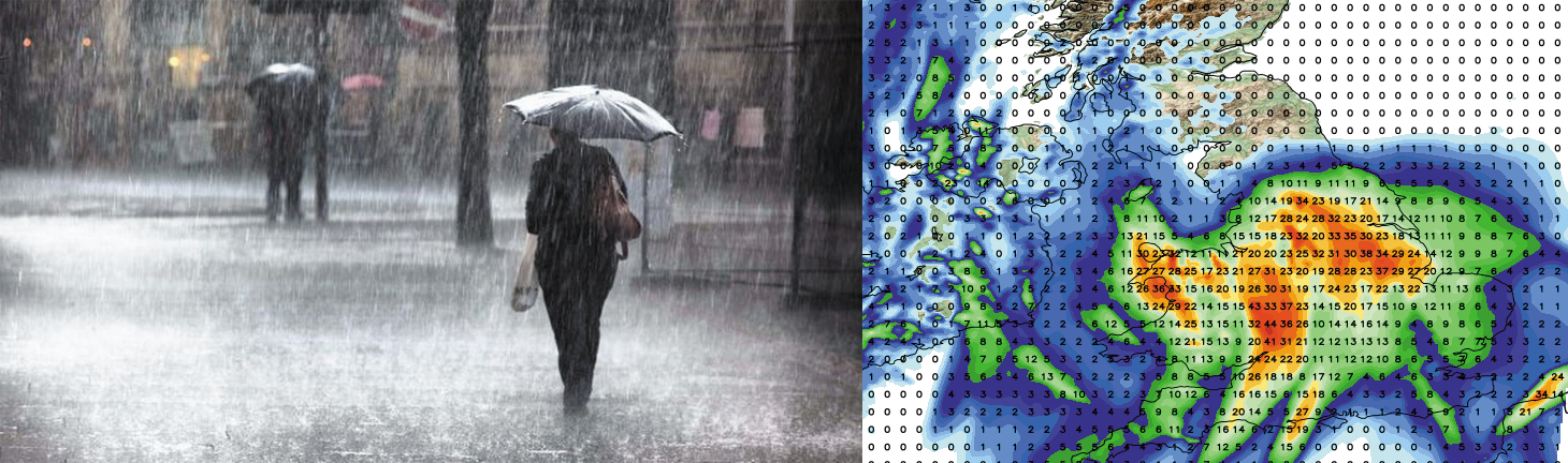
A spell of wet weather is expected across many central and eastern parts of England tomorrow with parts of the East Midlands, Lincolnshire, Yorkshire and Pennine areas in general seeing some large rainfall totals, especially as the system slows down.   Locally in excess of 60mm may fall in a short time. Whilst the risk is low, some of the rainfall will be very heavy with thunder. Below is a video animation showing the track and location of the expected rainfall with total accumulations expected at the end.  

Read More »

Mid-week update: High pressure, brightness, turning cooler, what heatwave?

Good afternoon and welcome to this weeks mid-week weather update looking ahead at the weather for the remainder of the week in detail.  High pressure has been in charge of late leading too mainly settled conditions prevailing with very little in the way of rainfall. For the remainder of this week we’ll continue with the dry and generally settled weather as high pressure continues to dominate our weather. Today we’ve seen variable amounts of cloud cover with the best of the brightness across Scotland, however, as we go through Thursday and in to Friday many areas will see the brightness return that we experienced last weekend and at the start of this week. Temperatures will rise slightly across the UK …

Read More »

High pressure dominates, warmer by day, cold by night

High pressure is set to continue across the United Kingdom this week. We do have the small matter of cloud and rain across the extreme west and north-west of the United Kingdom, mainly Northern Ireland, W/NW Scotland and the Western Isles of Scotland as the Atlantic creeps in, however, high pressure situated across England and Wales halts any eastwards progression of Atlantic systems, keeping them well away from mainland Britain. As we go through the week we’ll see high pressure continuing and becoming well established come mid-week with conditions eventually improving for Northern Ireland and Scotland too. There will be very little in the way of rainfall this week. Below you will find a graphic from our high resolution model …

Read More »

Much needed rain for many this week as low pressure dominates

What a difference a week makes! Of late we’ve basked in glorious sunshine and warm temperatures with very little, if no rainfall in sight. I’m afraid that is set to change this week as we see low pressure take hold of our weather. I say I’m afraid, but I know for many, especially those of you with allotments and landscaping jobs or hobbies have been crying out for some rainfall as the ground is very dry and hard at the moment.   Initially the wettest weather or majority of any rainfall will be across the southern half of the United Kingdom during the next 24-30 hours with Wales, southern and southeastern parts of England seeing the main bulk of rainfall …

Read More »

Omnipotent Jet Stream but where is the snow?

The United Kingdom has certainly experienced a very wet Autumn and winter so far and I’m afraid the wet and generally milder conditions are set to continue, at least throughout most of January. The reason for the unsettled weather is the position and strength of the Jet Stream. The jet stream is a fast flowing current of air higher up in the atmosphere, in fact the jet stream is located near the tropopause with prevailing westerly winds. The strength and position of the Jet Stream is very important to the UK’s weather as it controls our weather patterns, direction of these patterns and at times also the strength of low pressure systems, for example if a rapidly developing area of low …

Read More »

Snow update video – highlighting this weeks potential

Good evening guys. Please find a quick video below just highlighting the potential for some snowfall this week. I know some people can get confused but I just thought this would maybe give you more of an insight with regards to what is going on.. As I mentioned on the video these are the type of videos and even more extensive videos you get inside the premium group everyday. If you want to signup then feel free to click the link, signup and then comment done and we’ll get you across to the pro group and set you up with your own pro username and password for the website features. Signup: https://www.paypal.com/cgi-bin/webscr?cmd=_s-xclick&hosted_button_id=N5P3N7KKLX7PA Thanks – Lewis        

Read More »

A windy day in store with gales moving east!

Northern and western areas start the day on a very wet and windy note with the far east and southeast fairing best, at the moment, however it is downhill as we go through the day. Yet another area of low pressure is currently moving across the United Kingdom and it is introducing some very strong winds and further wet weather. The wet weather will transfer eastwards throughout the day as will the strong winds. We’ll see a secondary wave of heavy rain developing across northwestern areas later in the day.   Irish sea coasts will see wind gusts in excess of 65mph, possibly 70mph for a time with inland gusts across much of England and Wales ranging from 50-60mph. The …

Read More »