
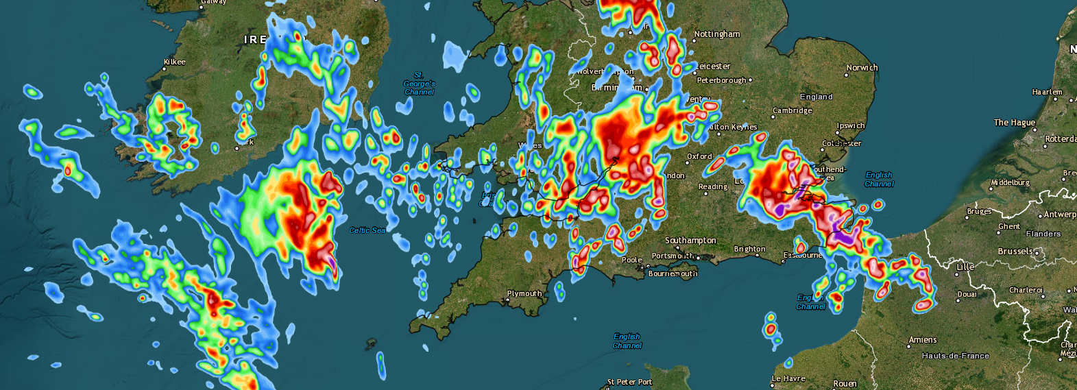
The weather is set to turn much warmer, humid and with an increased risk of torrential downpours and thunderstorms, especially towards the end of the working week.
We see the greatest threat of thundery downpours across south-western parts of England/Channel Coasts on Wednesday evening and perhaps through the early hours of Thursday morning. Wet wet weather will then extend north across many western areas throughout Thursday.
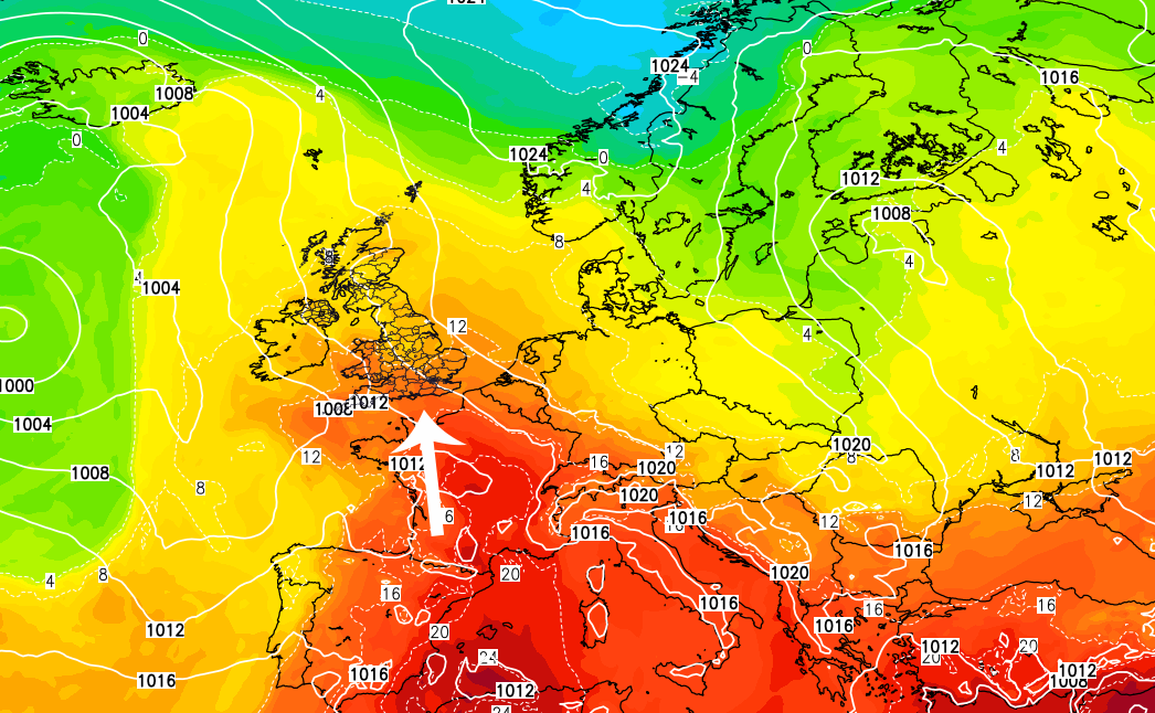
Many parts of England and Wales will see a very warm day on Wednesday. Wet weather in western areas on Thursday will keep the temperatures back a little, however, for many central, eastern and south-eastern areas we’ll see daily maximums on Thursday range from 22-26c with 27-30c possible in the south-east on Friday.
However, there is a disclaimer for Friday. Most models do have rather severe/active thunderstorms affecting some parts of England on Friday afternoon and into the evening period, which we’re monitoring very closely.
The areas at great risk on Friday (at the moment) are central, southern, south-eastern and eastern parts of England. We will be sure to keep you updated via our social media channels.
Lewis