
Northern and western areas start the day on a very wet and windy note with the far east and southeast fairing best, at the moment, however it is downhill as we go through the day. Yet another area of low pressure is currently moving across the United Kingdom and it is introducing some very strong winds and further wet weather. The wet weather will transfer eastwards throughout the day as will the strong winds. We’ll see a secondary wave of heavy rain developing across northwestern areas later in the day.
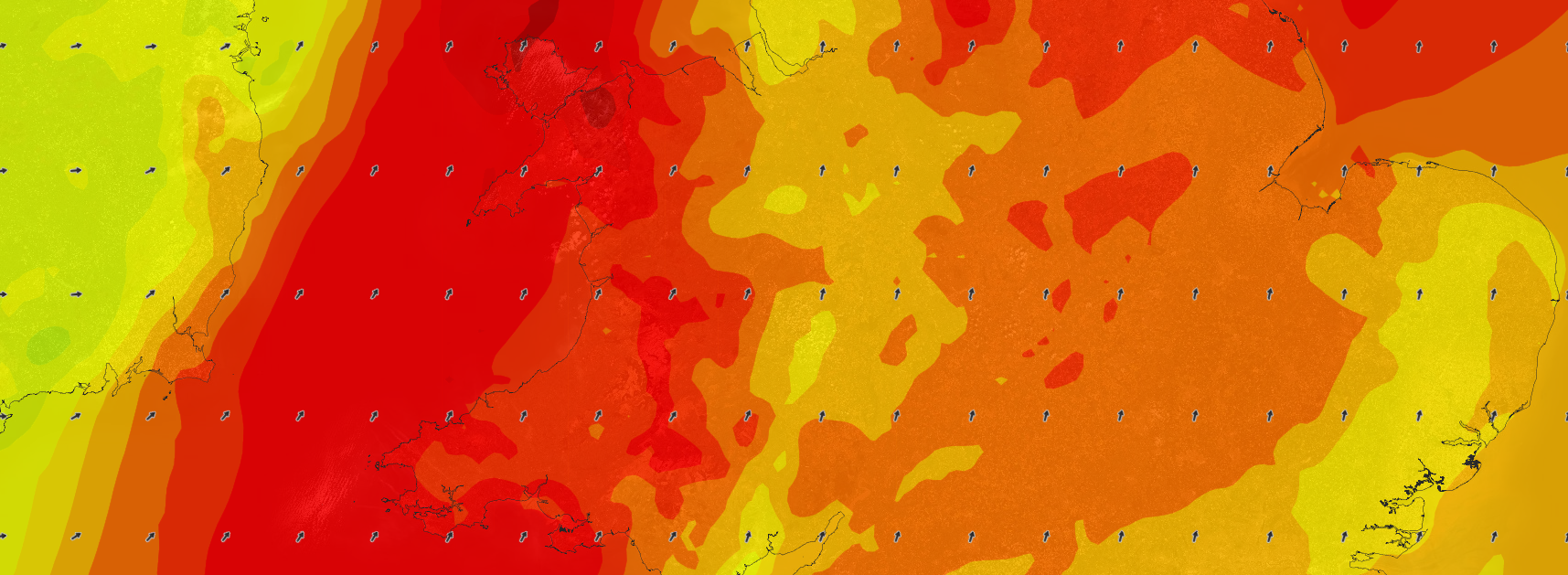
Irish sea coasts will see wind gusts in excess of 65mph, possibly 70mph for a time with inland gusts across much of England and Wales ranging from 50-60mph. The strong winds will transfer east across all areas throughout the day, eventually easing from the west, however the extreme east and southeast will hold onto the gusty winds into this evening. Check the latest wind speed forecast for the UK below, our high resolution charts plot the expected wind speed values in mph on the charts. If you’re using a mobile or tablet device swipe on the image; left to move forward through the images and swipe right to move back. On a desktop or laptop device the space button will start and stop the animation loop and the left and right arrow keys can be used to navigate through.