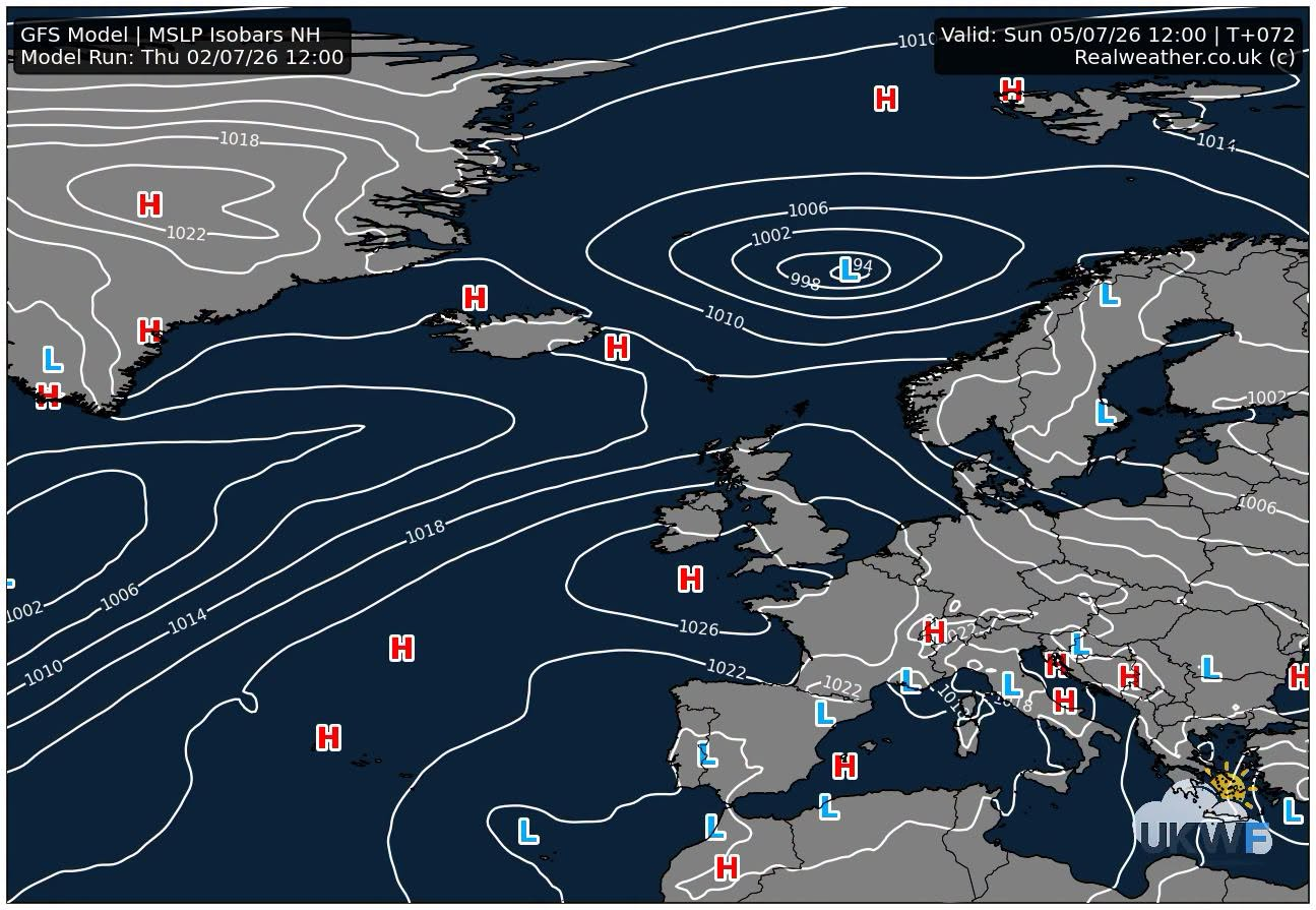
High pressure continues to build into the weekend period with increasing temperatures returning. We’ve already seen that in the south over the last few days.
Initially the high pressure will be more dominant across England and Wales, with lower pressure in the far north and northwest.
We will also see some wet weather during the weekend period across Northern Ireland and Scotland in particular, with some weak frontal rain in parts of Northern England.
The change to high pressure and certainly more dominant warmer and drier weather across the United Kingdom, will come Sunday and into the start of next week.
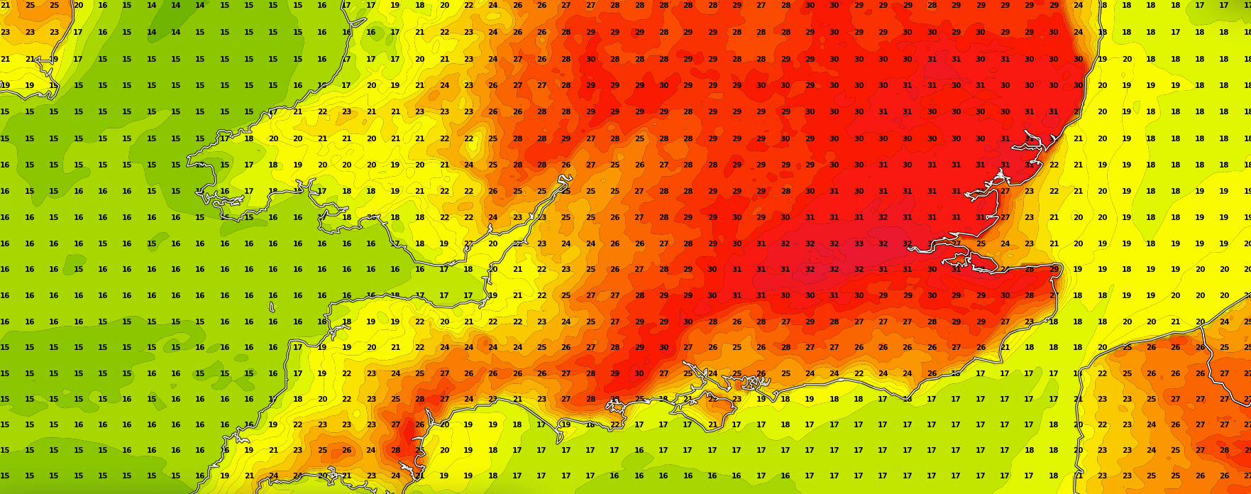
Temperatures on Sunday are expected to start climbing across southern, southeastern and some eastern parts of England in particular with highs of 26-30c.
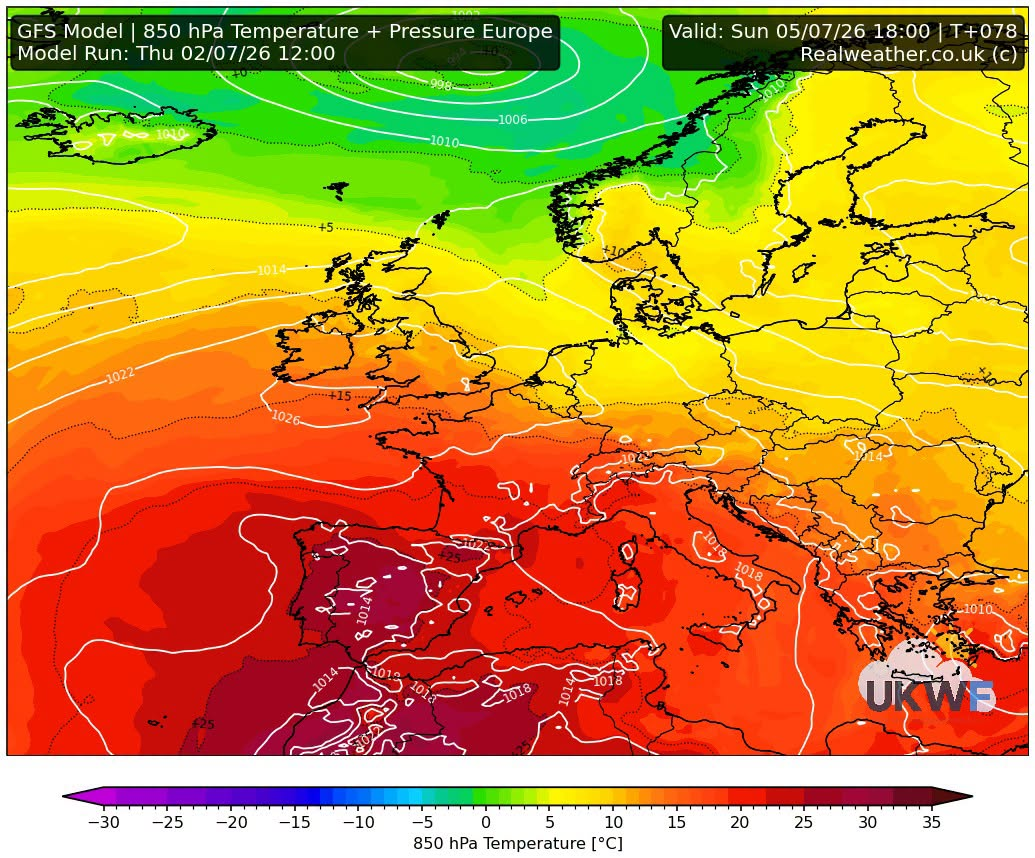
Then next week we see the high pressure become more established across the United Kingdom and the temperatures will start rising.
Some warm, locally very warm weather is to come again, more so next week. Current models at the moment show more respectable and enjoyable values, if that’s the correct word for you, with the high twenties and low thirties expected initially.
We’re still seeing some warmer outputs, with some models bringing up some very warm and humid air from the near continent later next week. So it could quickly turn into a hot spell again.
There is uncertainty on this and how warm it will become, however, I’ll be keeping a close eye on this.
So if warm and dry weather is your thing, plenty to come from now on in for much of England and Wales with the weather improving UK wide next week.
Attached charts below are from the GFS 12z weather model.