
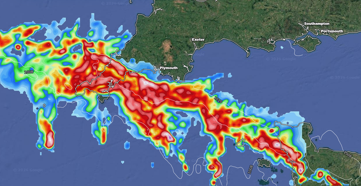
There is something to keep an eye on over the coming days, if lively weather is your thing!
We see the heat and humidity build over the coming days, with a shallow feature moving up from the south-west late Wednesday night and into Thursday morning.
This surface low, a well defined area of instability, will engage with a plume of warm moist air moving out of the near continent and pushing into the United Kingdom.
The result is the risk of some heavy and thundery rain on Wednesday night and through the early hours of Thursday morning.
Potentially some rather intense downpours with high rainfall rates and frequent lightning across parts of south-west England. It could be rather lively, if the area of interest doesn’t fizzle out before it hits.
The surface low then moves northeastwards through Thursday, engaging further north and east, with the risk of further heavy thunderstorms.
The models do have the low becoming a little more well defined and developed as it moves into the North Sea, if this occurs, some moderate to heavy wrap around precipitation across northeastern and eastern parts of England later Thursday and into Friday can be expected.
We’re still a good 3 days away on this so I would expect some deviation, chopping and changing from the outputs, as always. The main thing to keep an eye on is whether we see this trend further east or west.
I’ll keep you updated as always but regardless of the convective element or not, some very much needed rainfall is on the way!
