
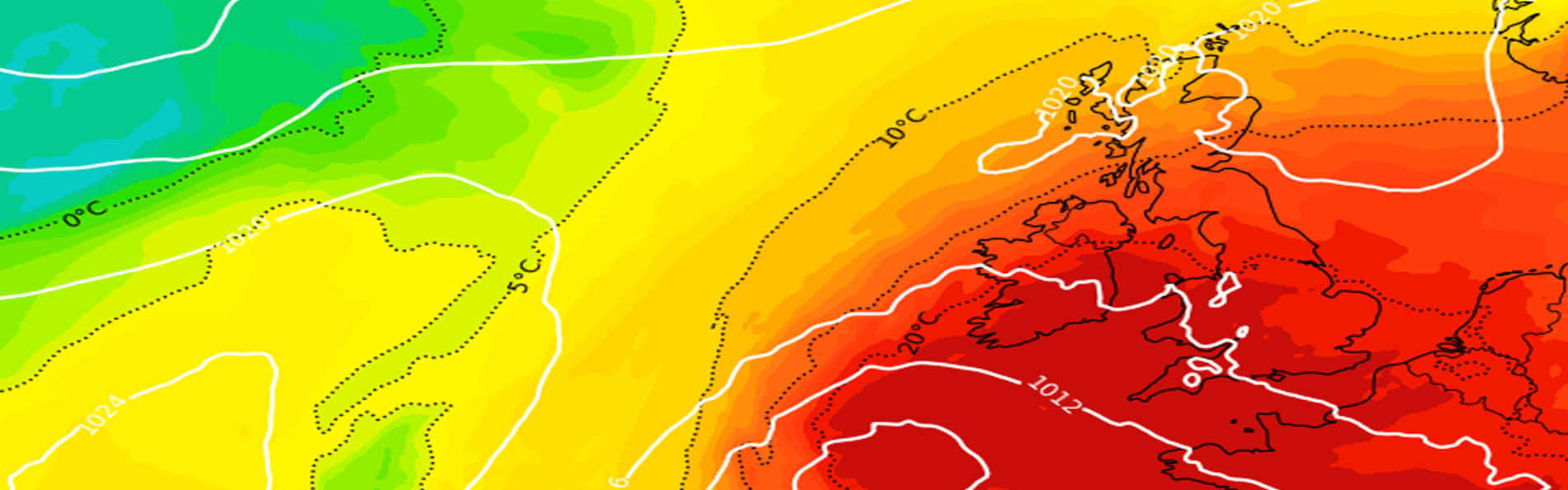
The weather is ‘hotting up’ from the south over the coming days as we see a plume of very warm air that has been developing over the near continent pushing north into the United Kingdom.
Heat health alerts and extreme heat warnings are already in force for many southern, central and eastern parts of England and Wales by the Metoffice, with further upgrades and areas covered, expected to be expanded over the coming days.
Current model projections suggest peak temperatures of 35-37c, potentially higher, so not only will we see a very warm spell of weather, we will likely beat the all time June record of 35.6c, set way back in Southampton, 1976!
Current model indications show a potential breakdown from the west later on Friday into Saturday, potentially bringing with it some thunderstorms. However, eastern and south-eastern areas may hold onto the mid to high twenties throughout next weekend, although certainly a climb down from 35c+.
We will see the risk of some isolated thunderstorms here and there throughout the week, with the first risk coming through Monday morning across south-western parts of England (Cornwall & Devon) with the risk then perhaps moving into central and southern parts of England through the day.
There is some uncertainty on the thunderstorm risk but I will keep you updated as always.
Grab a heat forecast for your location by clicking here. Check the latest weather warnings in force by the Metoffice here.