A deep area of low pressure will move in from the west on Sunday and into Monday bringing very strong winds across parts of Ireland, Wales, Irish sea coasts in general and southwestern parts of England. The strong winds will initially affect parts of Northern Ireland and Ireland before transferring into Wales, Northwestern parts of England and the southwest of England. Gusts inland across northwestern parts of England, Wales, W Midlands and SW England will range from 50-55mph widely, perhaps exceeding 60mph for a time. Across Irish sea coasts and exposed locations gusts in excess of 70mph are to be expected.
Whilst there will be a wave of strong winds across these areas later today the main wave of strong winds are to be expected through Sunday and also into the early hours of Monday morning. Elsewhere much of the UK will see a period of strong winds with gusts widely in excess of 45mph, we may also see winds strengthen to gale force across the far northeast of England during the rush hour period on Monday, perhaps peaking at 60mph. The strong winds across the UK will eventually ease from the west with the low pressure system moving away to the east by late afternoon.
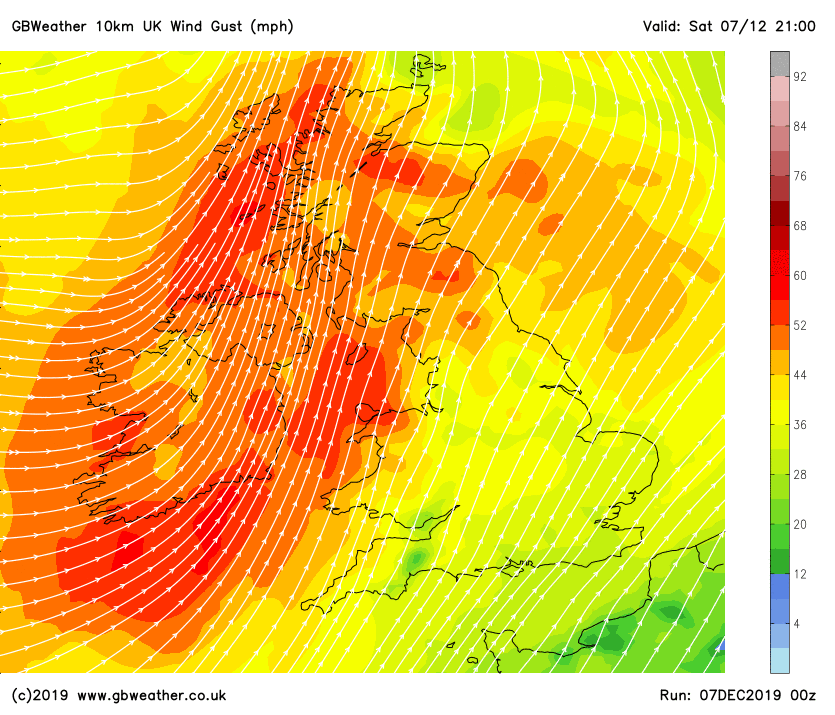
With the ground very saturated from recent rainfall events there is a greater risk of disruption due to trees being brought down. An active frontal system will also move through across many areas bringing a spell of very wet weather. Below you will find an animation of the strong winds with the key representing the colours/wind strength located on the right hand side of the graphics. Would you like your company to sponsor our weather network this winter? Click here to get in touch.