Remaining unsettled and cold with wintry weather for some
We continue with the cold theme for many areas over the next 48 hours or so. The wintry weather will become increasingly confined to…

Public & Commercial weather services
We continue with the cold theme for many areas over the next 48 hours or so. The wintry weather will become increasingly confined to…
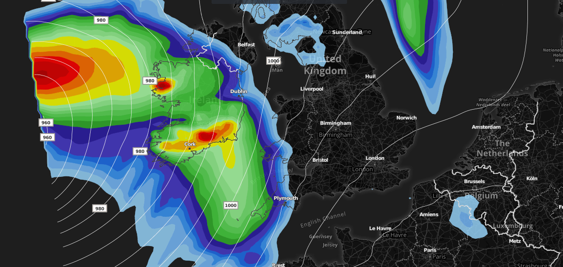
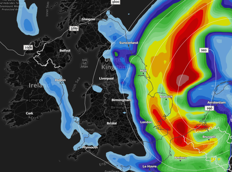
An area of low pressure is expected to track close to the United Kingdom late Thursday and will head NNE during Friday morning. Whilst…
To celebrate the launch of our new website, packed full of features with more on the way, I'm offering the chance for everyone to get 50% off any paid package on our website, this week only. Use discount code WEBSITE on checkout. Perks include advert free browsing, extra forecast features, e-mail alerts and access to our lightning data and pro Facebook group.