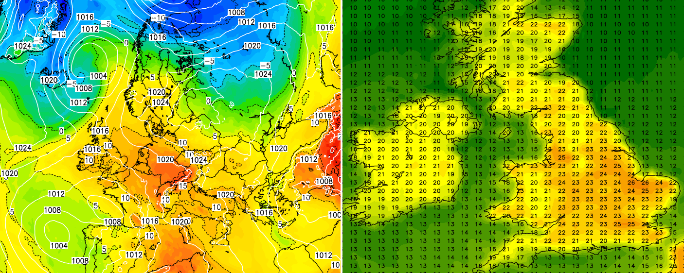
High pressure to see out April!
Some good weather news! High pressure remains well in charge and will at least see out April! Very little in the way…

Public & Commercial weather services
Some good weather news! High pressure remains well in charge and will at least see out April! Very little in the way…
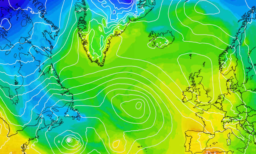
The unsettled theme will continue for at least the next 7 days or so and we can thank the Jetstream for that!…
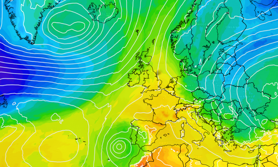
Over the coming days we will see warmer conditions developing from the south. Some parts of the United Kingdom, in particular central…

Meteorological winter will get off to a wet and unsettled start with low pressure dominating the United Kingdom! There are currently numerous…
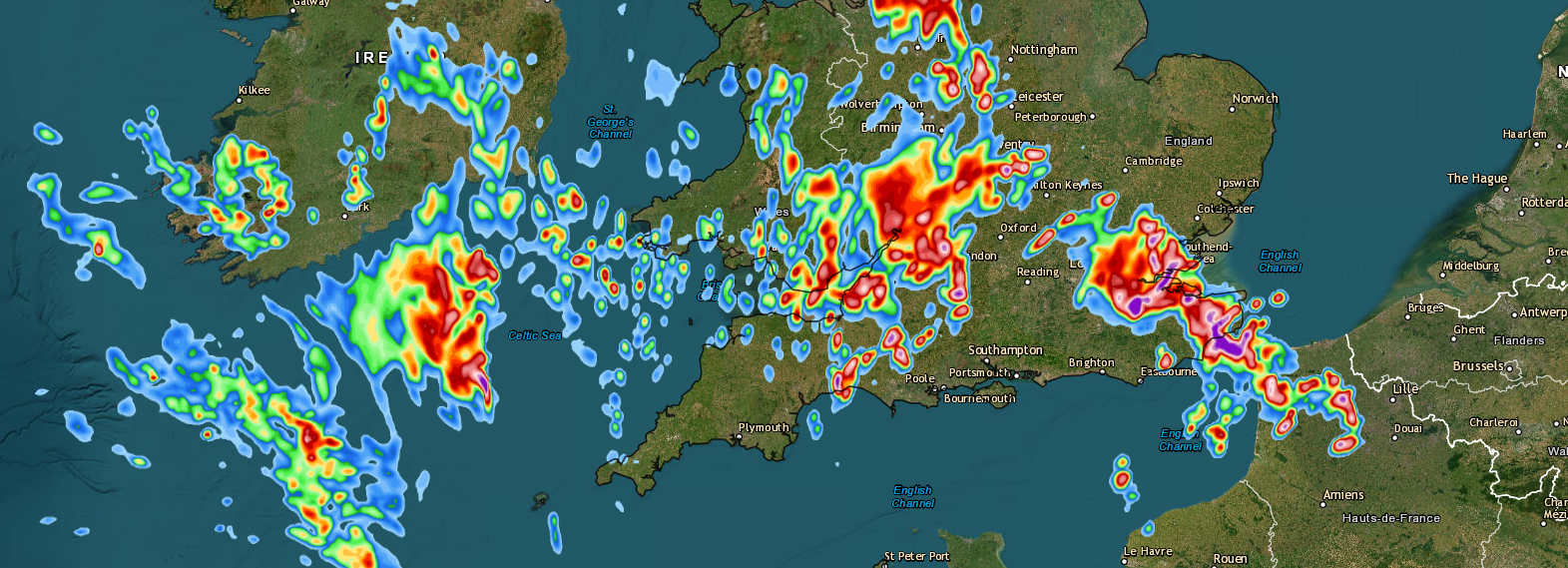
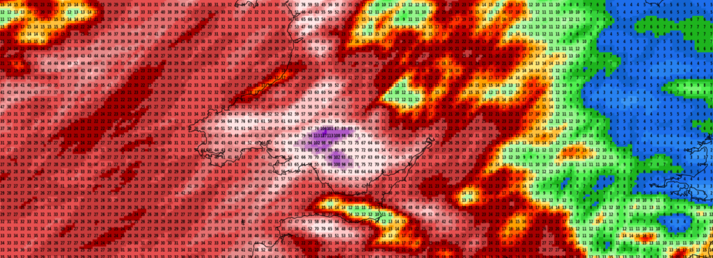
The weather is set to turn much warmer, humid and with an increased risk of torrential downpours and thunderstorms, especially towards the…
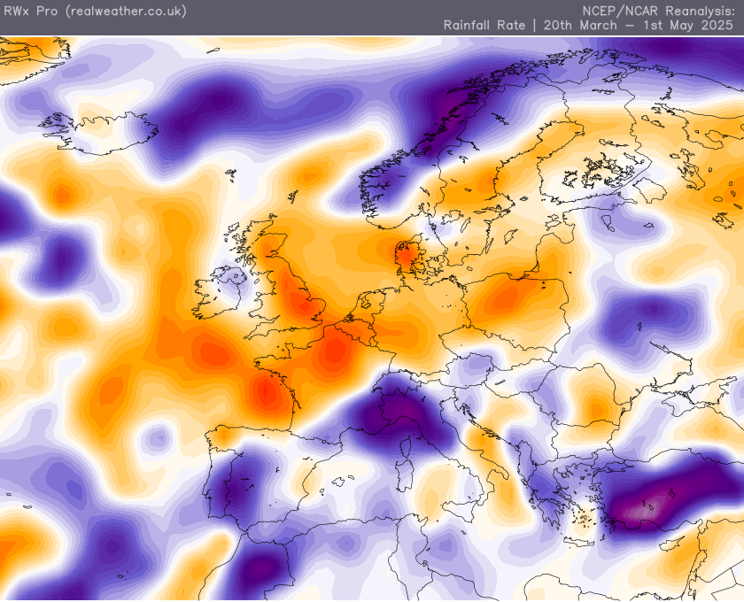
The weather across the UK for the past several weeks has been incredibly dry and with no meaningful rain to come in…
There has been talk from the usual tabloids over the last few days about very warm weather and heatwave conditions on the…
6 Months FREE Membership to the Real Weather Pro Group/App • For free page members: If your vehicle qualifies, you’ll receive 6months of…
Real Weather is proud to partner up with Skyview as our official weather systems provider. With 35 years of experience, Skyview Systems…
Get advert free browsing, access to many pro features, rain alerts and e-mail alerts, pro Facebook group access and when our new IOS and Android apps launch within the next month, get it at no further cost.Offer for this week only. Use discount code WEBSITE on checkout.