
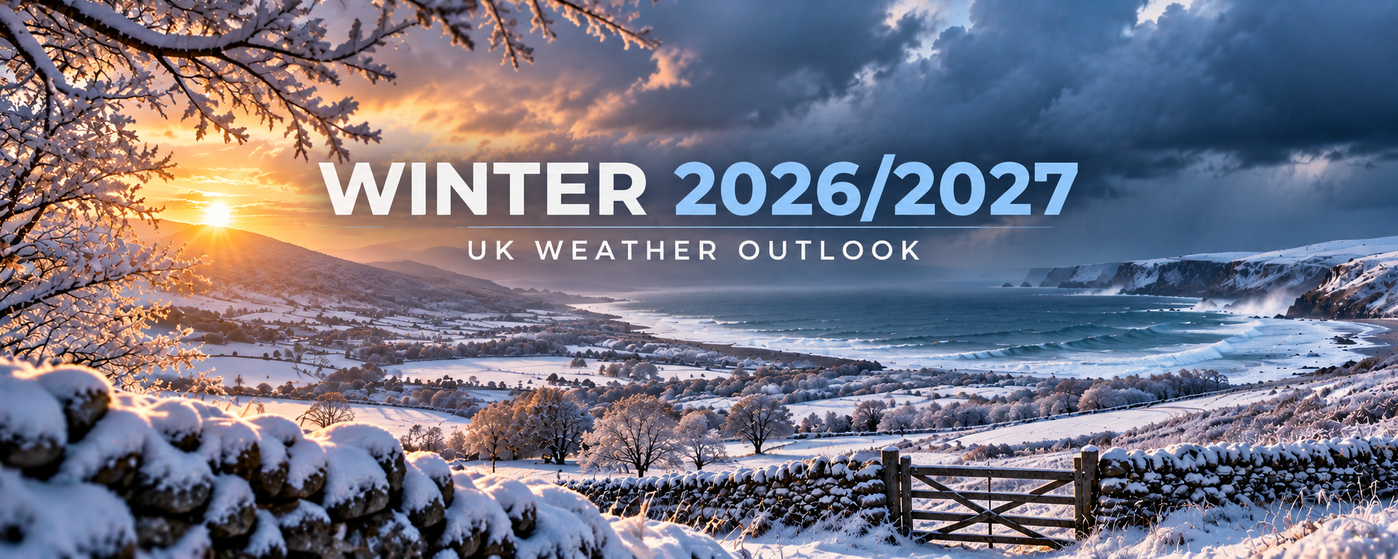
UK Winter 2026/2027 – Early Outlook
Attention is already beginning to turn towards UK Winter 2026/2027 and what the coming season could bring across the United Kingdom.
Could we experience a predominantly mild and wet winter, or will atmospheric patterns become favourable for periods of significant cold, frost, ice and snow?
At this stage, it remains far too early to confidently forecast individual cold spells or snowfall events. However, there are already important global and atmospheric signals that UKWF will be monitoring closely throughout September and October.
Our UK Winter Weather Forecast 2026-2027 will continue to develop over the coming months as confidence in these signals increases.
What could UK Winter 2026/2027 bring?
Early indications suggest that the coming winter could feature considerable variability.
Periods of mild, wet and potentially stormy Atlantic weather remain possible. However, this does not rule out colder periods developing during the winter.
For the UK, the overall seasonal temperature is only part of the story.
A winter that eventually finishes close to or even above the long-term temperature average can still contain significant periods of cold weather, frost, ice and snow.
The position of the North Atlantic jet stream and the development of high-pressure blocking will ultimately be crucial in determining whether the UK experiences predominantly Atlantic-driven weather or opportunities for much colder Arctic or continental air.
Long-range signals for Winter 2026/2027
UKWF will closely monitor the major atmospheric and oceanic drivers that could shape the UK Winter Weather Forecast 2026-2027.
These include conditions across the tropical Pacific, the North Atlantic Oscillation (NAO), Arctic Oscillation (AO), North Atlantic sea-surface temperatures, the Madden-Julian Oscillation (MJO) and the development of high-latitude blocking.
As we move further into autumn, one of the increasingly important factors will be the stratospheric polar vortex.
The strength and behaviour of the polar vortex can have an important influence on Northern Hemisphere winter circulation.
A strong and stable polar vortex can favour a stronger west-to-east circulation, while significant disruption to the vortex can sometimes increase opportunities for high-latitude blocking and colder weather across parts of Europe.
However, no individual signal can determine the outcome of a UK winter.
It is the interaction between these different factors that ultimately determines our weather.
Could the UK see snow during Winter 2026/2027?
Snow will inevitably be one of the biggest questions surrounding UK Winter 2026/2027.
It is far too early to predict specific snowfall events.
What we can assess over the coming months is whether the broader atmospheric circulation is becoming more or less favourable for cold weather reaching the UK.
If high pressure becomes established around Greenland or Scandinavia, the UK’s usual Atlantic influence can become disrupted.
Depending on the precise position of that blocking, this can open the door to colder northerly or easterly winds and significantly increase the potential for frost, ice and snowfall.
Conversely, a strong Atlantic jet stream directed towards the UK would favour predominantly milder, wetter and windier weather.
December 2026
December remains highly uncertain at this range.
The early part of winter can frequently experience substantial Atlantic influence, bringing relatively mild, wet and windy conditions.
However, UKWF will be watching closely for signs of northern blocking during November.
Should blocking begin developing around Greenland, Iceland or Scandinavia, the probability of colder conditions reaching the UK during December would increase.
January 2027
January will be particularly interesting.
By this point, developments within the stratosphere can become increasingly important.
A weakened or significantly disrupted polar vortex can sometimes increase the probability of high-latitude blocking developing during subsequent weeks.
This does not guarantee cold weather in the UK, but it is an important factor that UKWF will monitor when assessing the potential for more prolonged periods of cold.
February 2027
There is currently far too much uncertainty to provide a meaningful detailed forecast for February 2027.
However, February should certainly not be overlooked when considering the potential for cold weather.
Some UK winters have produced significant cold and snowfall relatively late in the season.
The evolution of the North Atlantic circulation, northern blocking and the stratospheric polar vortex during December and January will provide much more information about the potential pattern heading into February.
Will Winter 2026/2027 be cold?
There is currently no reliable basis for declaring Winter 2026/2027 a cold or severe winter.
Equally, it is much too early to declare that the coming winter will be mild.
Long-range weather forecasting is about identifying changing probabilities rather than predicting specific weather several months in advance.
Confidence will gradually improve throughout September and October as the atmospheric and oceanic background state becomes clearer.
Rather than making exaggerated claims about months of snow or an inevitable “big freeze”, UKWF will follow the developing signals and update our forecast accordingly.
UK Winter 2026/2027 forecast updates
UKWF will keep this page regularly updated throughout September and October as the long-range signals develop.
We will monitor changes in seasonal computer models alongside atmospheric and oceanic signals, looking for agreement between different forecasting systems and assessing whether the probability of cold, mild, wet, stormy, dry or blocked conditions is changing.
As winter approaches, these updates will become increasingly detailed.
Final UK Winter Weather Forecast 2026-2027 – 1st November
The final UK Winter Weather Forecast 2026-2027 from UKWF will be published on 1st November 2026.
By then, considerably more information will be available, allowing us to provide a much more detailed assessment of the expected winter pattern.
The final UKWF forecast will cover December 2026, January 2027 and February 2027, including:
- Overall temperature expectations
- Probability of colder and milder periods
- Cold spell potential
- UK snowfall potential
- Frost and ice risk
- Rainfall and storm potential
- Atlantic versus blocked weather patterns
- The strength and behaviour of the polar vortex
- Latest long-range computer model guidance
Until then, keep checking back for the latest UK Winter 2026/2027 updates from UKWF as we monitor the long-range signals over the coming months.
Final Winter 2026/2027 forecast: 1st November 2026
Last updated: 7 September 2026
UKWF – monitoring the long-range signals ahead of UK Winter 2026/2027.