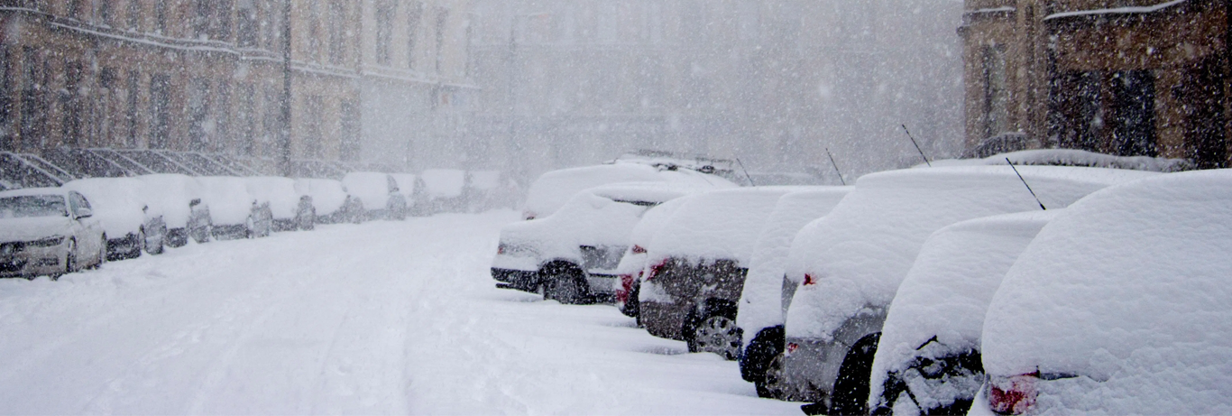
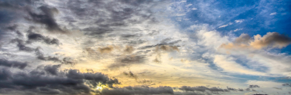
Winter thoughts – Beast from the East?
It is that time of the year again, woohoo (sorry I do love winter) where winter is nearly open us, OK yes there…

Public & Commercial weather services
It is that time of the year again, woohoo (sorry I do love winter) where winter is nearly open us, OK yes there…
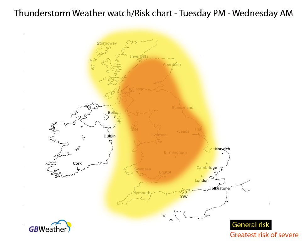
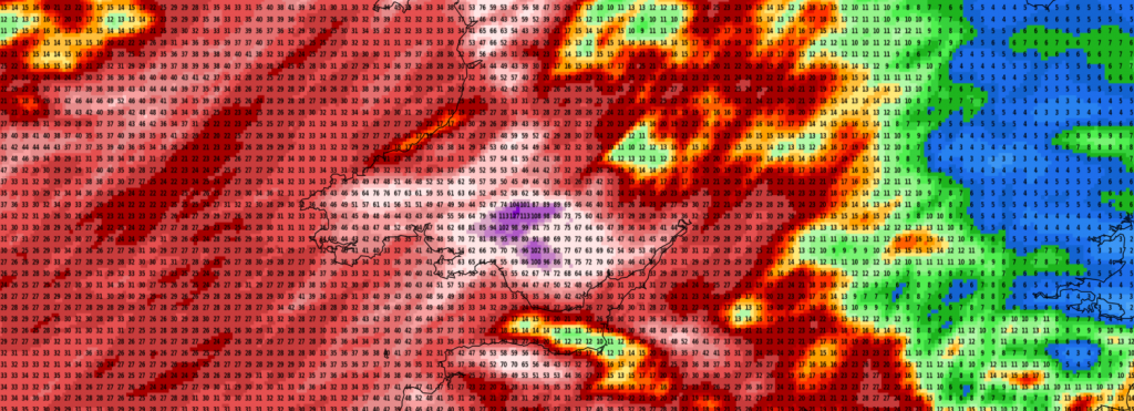
There is a risk of severe thunderstorms affecting parts of Wales, central England, northern and northwestern parts of England, Yorkshire, Lincolnshire and…
Upgrade to premium today by clicking here – get the best forecasts in the UK. Feed by Webcamtaxi
It is that time again, everyone is asking what this summer will bring. Us British are obsessed with the weather and most,…
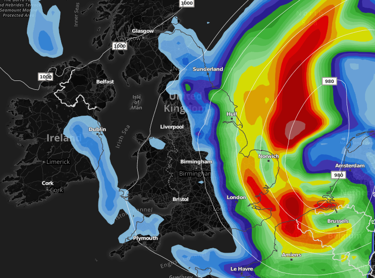
It has been very miserable of late with low pressure in charge. The good news is that next week the weather starts…

Low pressure is expected to dominate our weather next week as the Jetstream fires up, again! We’ll see spells of wet…
Please comment/give feedback of our premium group on the Facebook comments at the bottom of this page ‘Share your thoughts section’.
We’ve some very active weather to contend with during the next 24 hours or so as the jetstream ramps up and a…
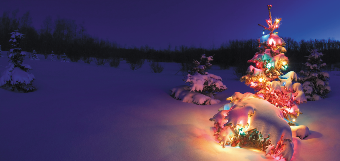
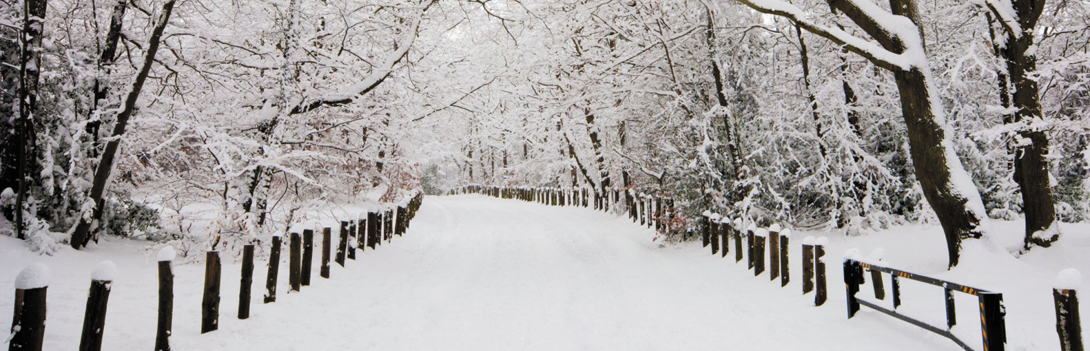
Are you dreaming of a white Christmas 2018? From now until the big day we will be posting a daily update…
We continue with the cold theme for many areas over the next 48 hours or so. The wintry weather will become increasingly…
Get access to all of our website features plus our new app via a paid account today. Radar, Live Lightning strikes, Thunderstorm and forecast features, Agri/farming weather, absolutely packed with content! Upgrade today!!