
Another day and yet more heatwave articles doing the rounds on Facebook, my newsfeed is full of them! Well you’ll be glad to know that the weather is improving significantly and by next week much of the UK is likely to be basking in glorious sunshine with the mercury rising, locally hot conditions may develop, particularly across central and southern areas.
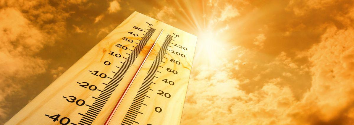
What most of these click bait weather pages fail to forget (because lets be honest they’re not interested in factual weather information they’re just bothered about the £ sign rather than giving the UK public honest and reliable weather information) is that for each county of England there are temperature thresholds for true heatwave conditions and whilst next week is looking very warm and potentially locally hot, it won’t be a “UK wide heatwave”. Let’s take a look at what values need to be achieved by county for heatwave conditions to be confirmed.

As mentioned on the above graphic, temperatures must be at that level for 2 consecutive days.
The weather really does start to improve this weekend as we see high pressure developing and centred across the United Kingdom as can be seen on the image below.

As a result temperatures will rise with highs ranging from 19-22c widely on Saturday with the exception being the extreme west and northwest where temperatures will be cooler. Sunday sees the mercury continue to rise with highs ranging from the low to mid-twenties across many inland parts of England, Wales and parts of Scotland may even see temperatures reaching 22-23c.

As we head on into the new working week we maintain the settled, dry and increasingly warm theme as high pressure remains in charge. We will during next week, as the high pressure moves around, draw in much warmer upper air and a very warm but slack feed/flow from the near continent. The very warm upper air being drawn up from France and Iberia will have an affect on our weather at the surface and in this setup it means only one thing… HEAT!


Come Monday and into Tuesday many parts of the United Kingdom will experience highs of 24-26c with highs perhaps reaching 27-28c in the south/southeast. The mercury continues to rise throughout next week and we may even see some thunderstorms popping into the forecast, especially towards the end of next week. Below are some expected maximum temperature charts for next week, you can find the date and time of the predicted temperatures in the top right hand corner of each chart.


The temperatures are expected to rise each day of next week and whilst the weather models are suggesting temperatures into the low 30’s for some and perhaps thresholds reaching a value to trigger off a heat alert by the metoffice, it won’t be a widespread UK heatwave with widespread mid 30’s! In forecasting terms next week is a long way away and whilst warmer weather developing next week is favoured there is still time for the models to downgrade the setup/temperatures. I will keep you updated as always.
Lewis
