
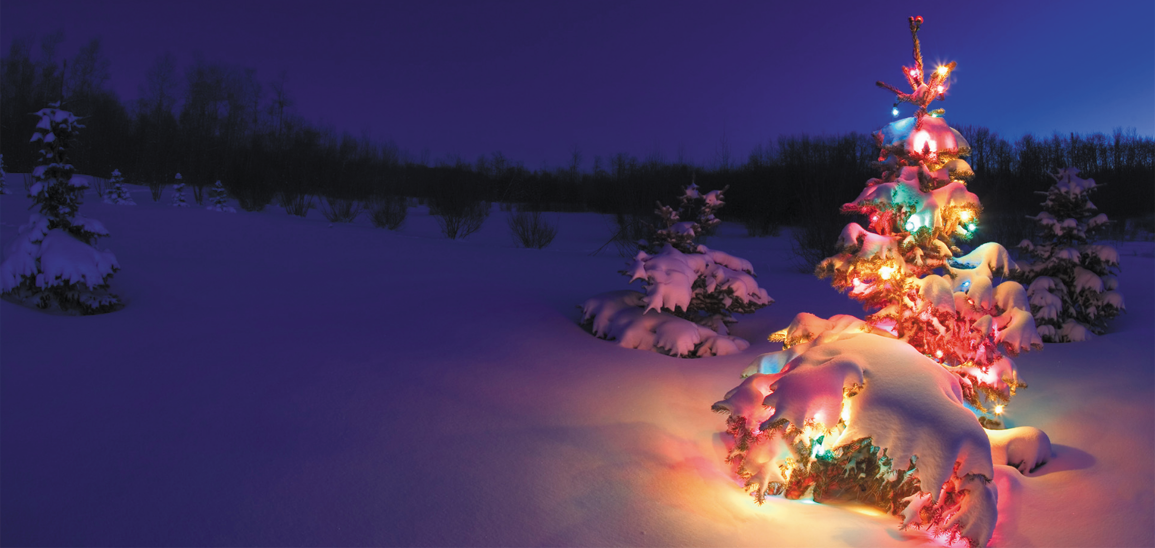
Are you dreaming of a white Christmas 2018?
From now until the big day we will be posting a daily update from our long range forecast model. We use the CFSV2 model which is a medium to longer range forecast model. As we nearer Christmas day we’ll start using our shorter range forecasting models and of course have more of an idea with regards to what weather we’ll see this Christmas. You can find the latest update below.
Update #1 – 7th December 2018

Based on the current CFSv2 model output Christmas day 2018 is expected to be a mixed bag. Low pressure is expected to be the dominating feature of our weather as we head towards the big day. At times these areas of low pressure will draw in colder air which may bring the risk of wintry weather across northern areas (mainly higher ground). This particular model run shows a risk of wintry showers in Scotland with perhaps a risk of more general snowfall moving into Scotland as an area of low pressure heads in from the west and interacts with colder air across the north, before milder and generally unsettled conditions move in behind for Boxing Day.
For areas away from Scotland a cold Christmas day with showers, some of which would be wintry over higher ground in the north would be expected. As Greenland and Scandinavia cool down rapidly with very cold air bottled up we may see a few surprises as we head towards the big day, make sure you stay tuned for further updates. Lewis