There have been many reports from the media suggesting a heatwave is on the way during April, some media sources have even said temperatures may reach the low to mid twenties. Is a heatwave on the way? Let’s take a look at what the weather models are showing.
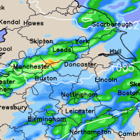
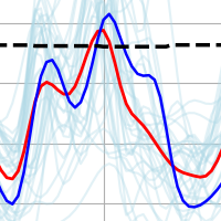
This week sees low pressure in charge and whilst at times there will be some milder temperatures, especially across the southern half of the United Kingdom, many northern areas will continue to see cooler conditions with the risk of further wintry showers and snowfall across the higher ground in the north of England and Scottish hills/mountains. The GFS chart below shows upper 850hpa air temperature and sea level pressure. The greens, blues and purples represent colder air.
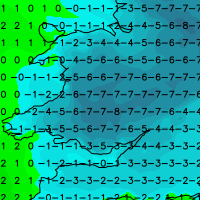
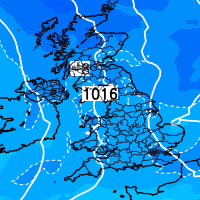
The GFS weather model does suggest a temporary change to ‘more settled’ conditions as we head towards the weekend with southerly winds developing. As a result temperatures will respond with perhaps highs of 17-19c possible, however, even on Saturday the models suggest that some showers and spells of rain may occur across southern and southeastern parts of the country.
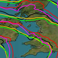
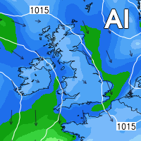
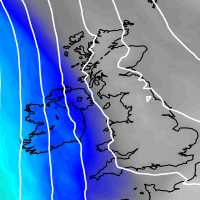
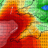
Below you will find the 850hpa upper air temperature + sea level pressure chart for Saturday and a high resolution maximum temperature chart for Saturday and Sunday of this week.
Whilst Friday, Saturday and Sunday of this week sees temperatures respond nicely across the southern half of the United Kingdom in particular, it isn’t expected to last long with a return to unsettled conditions the most likely. There are signals that towards the middle/end of the month we may see conditions settle down with high pressure developing, however my view is that low pressure and the general unsettled theme will continue throughout the month.
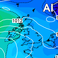
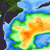
So to conclude, a heatwave is not on the way, however there will be some spring like temperatures this weekend for many, more so across the southern half of the United Kingdom. I’ll leave you with one last image showing low pressure still in charge come the 13th of April.
Lewis

