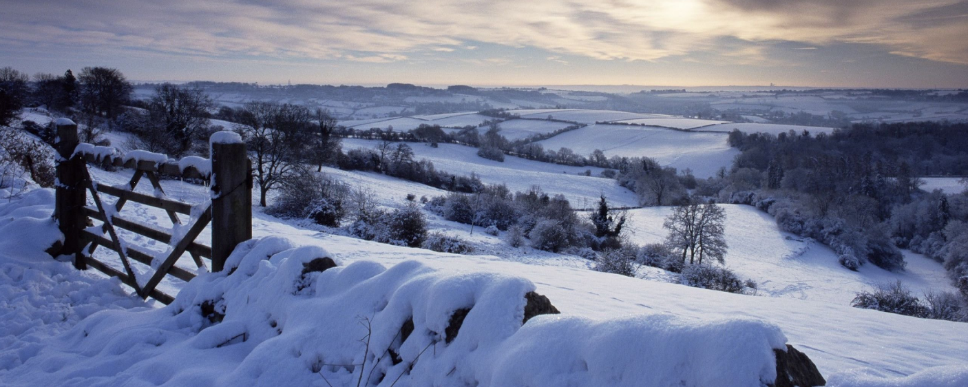
Beast from the East part 2 – How cold and how long will it last?
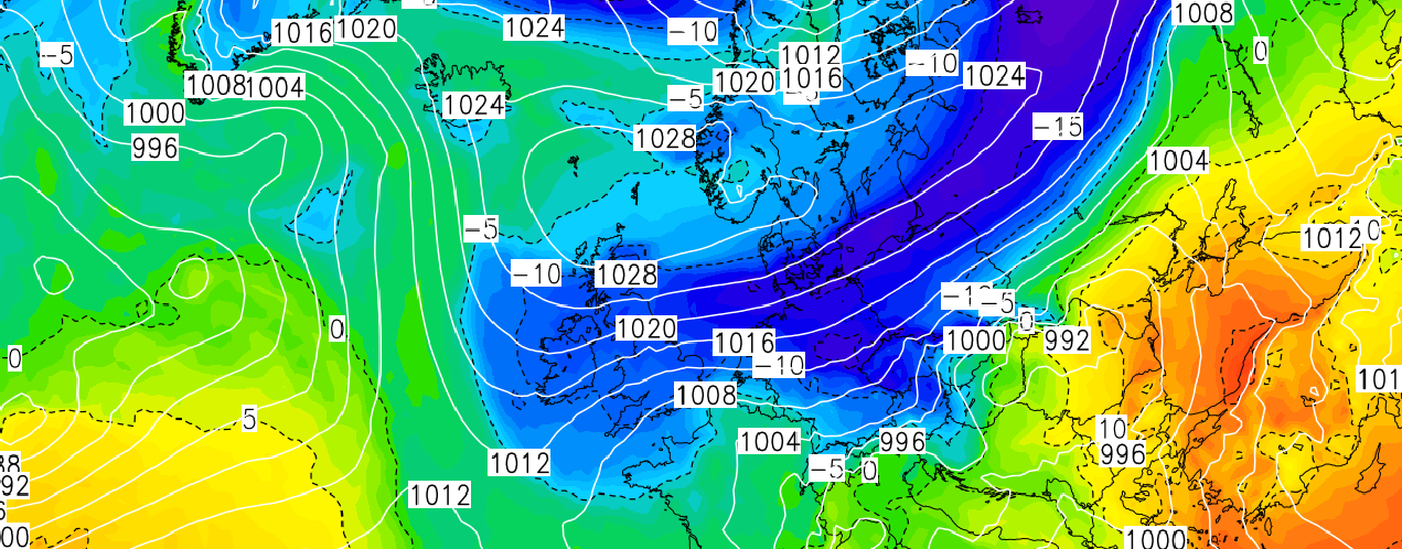
The latest model outputs continue to show much colder air being sourced all the way from Siberia moving into the United Kingdom this…

Public & Commercial weather services
The latest model outputs continue to show much colder air being sourced all the way from Siberia moving into the United Kingdom this…
You may or may not have seen the reports in the media suggesting another beast from the east moving in to affect…
Get advert free browsing, access to many pro features, rain alerts and e-mail alerts, pro Facebook group access and when our new IOS and Android apps launch within the next month, get it at no further cost.Offer for this week only. Use discount code WEBSITE on checkout.