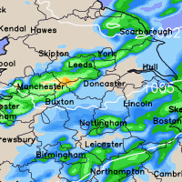
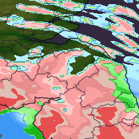
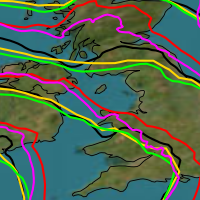
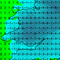
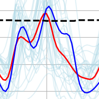
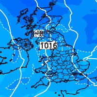
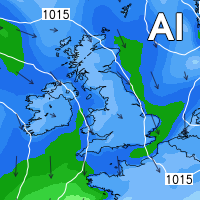
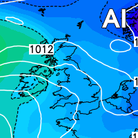
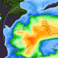
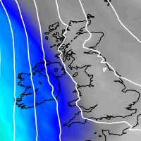
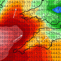
Low pressure is expected to dominate our weather next week as the Jetstream fires up, again! We’ll see spells of wet and at times windy weather across much of the United Kingdom throughout next week.
There is perhaps a glimmer of hope that as we head towards next weekend things may just settle down with a ridge of high pressure trying to develop from the south bringing slightly warmer conditions, however it is only a glimmer at the moment. Please find a video animation of sea level pressure and precipitation (rainfall) for next week using our high resolution model data further down this post.
I’m trying very hard to bring a full service back to the general public, however without a main advertiser/sponsor this will be a struggle. If you want to see a permanent return to my forecasts and you have a business get in touch via media@gbweather.co.uk – Lewis
Rainfall and sea level pressure.

