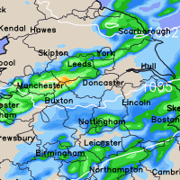
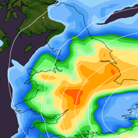
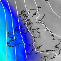
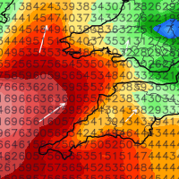
An area of low pressure will develop and move up from the south later on Sunday bringing with it some very heavy rainfall for at least a 24 hour period!
At the moment areas at greatest risk of disruption are southeastern parts of England (Essex, London & the Home Counties, Sussex and Kent) and also parts of East Anglia.
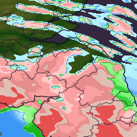
Many areas will widely see rainfall totals in excess of 30mm with perhaps 60mm+ locally, which is of course a flooding concern.
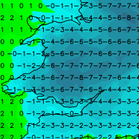
As colder air is drawn in on the northern flank of the system we see a risk of rain turning to sleet and snow across the South Downs for example and potentially even to lower levels for a time, however a lot depends on evaporative cooling and the intensity of the precipitation.
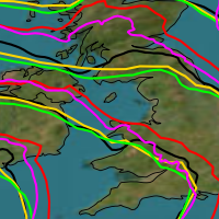
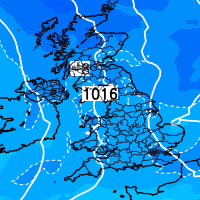
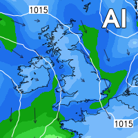
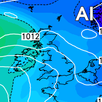
Below are some charts from our high resolution weather model and the first chart does not make great viewing, as it shows total expected precipitation amounts in mm over a 24 hour period and as can be clearly seen it shows in excess of 60mm across some areas!
You can track the heavy rain that develops late tomorrow and into Monday via our pro radars and free radars, click here to register.

