
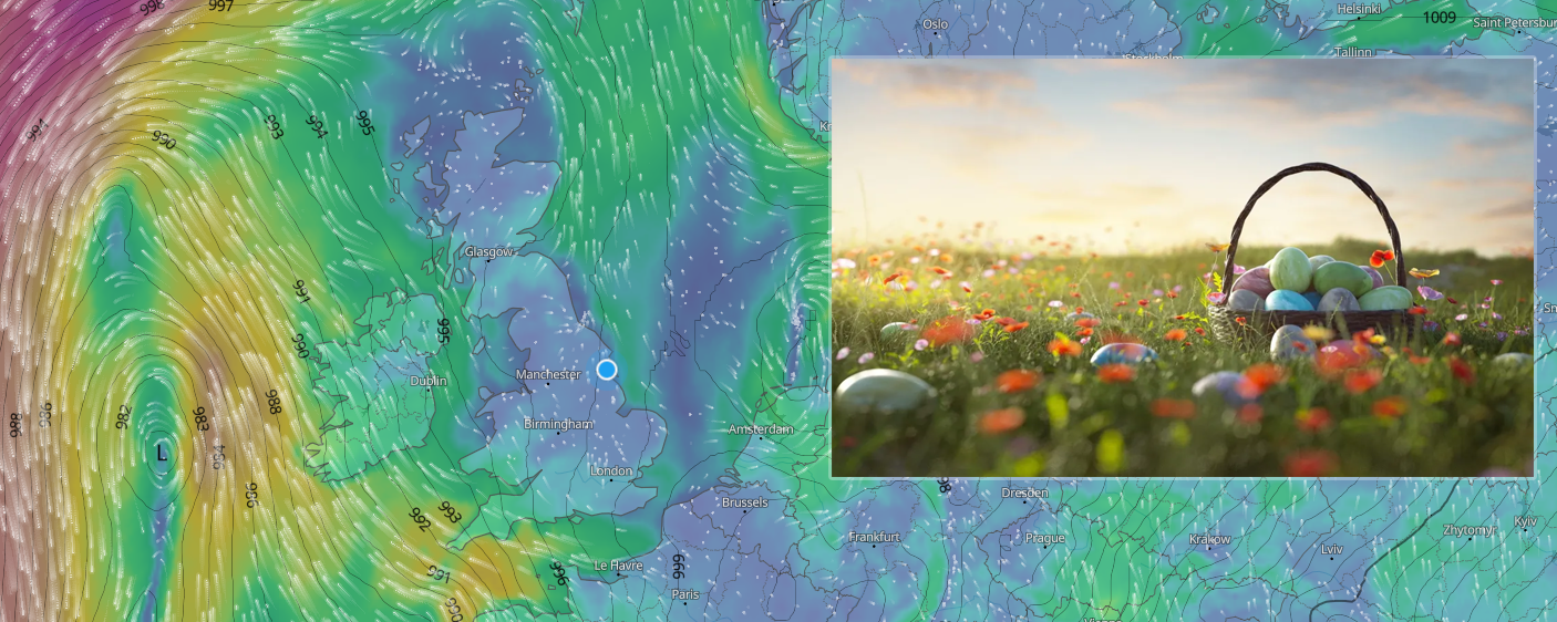
The weather certainly has been unsettled this week and we’ll see further rainfall, some heavy and even wintry during the next 24-36 hours and some rather strong winds across the south and southwest tomorrow, however, conditions will become slacker and generally better as we head into the weekend, though with low pressure still in charge, expect further showers!
Good Friday
A day of sunshine and showers across the United Kingdom. Some of these will be on the heavy side with the odd rumble or two of thunder.
You may find that southern and south-eastern areas start the day on a rather wet note, with showers merging to bring longer spells of rain at first, before conditions gradually improve through the day.
Similar across Northern Ireland with perhaps some more persistent rain to start the day before gradually improving late morning and into the afternoon period.
Scotland similar to England and Wales with showers, wintry over higher ground.
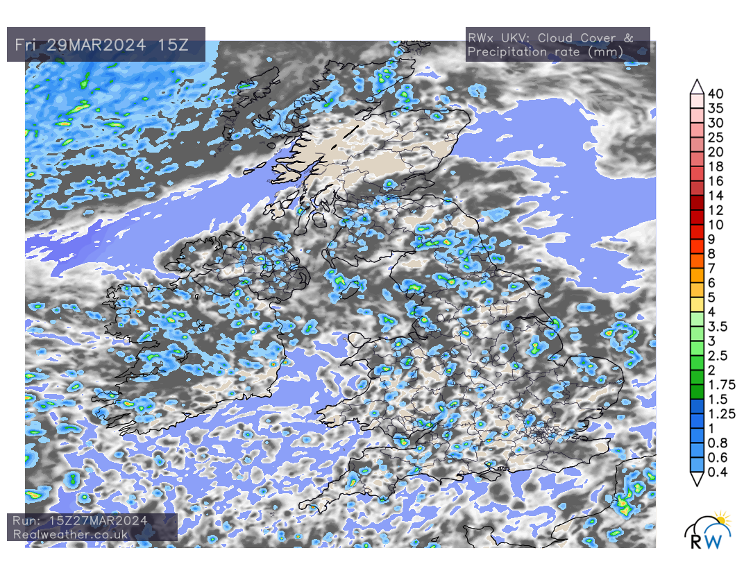
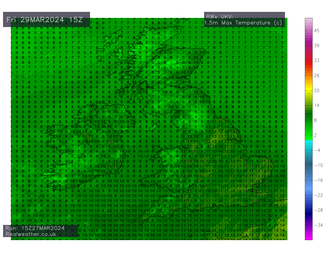
Temperatures ranging from 9-12c, lower during heavier showers and cooler in the far north.
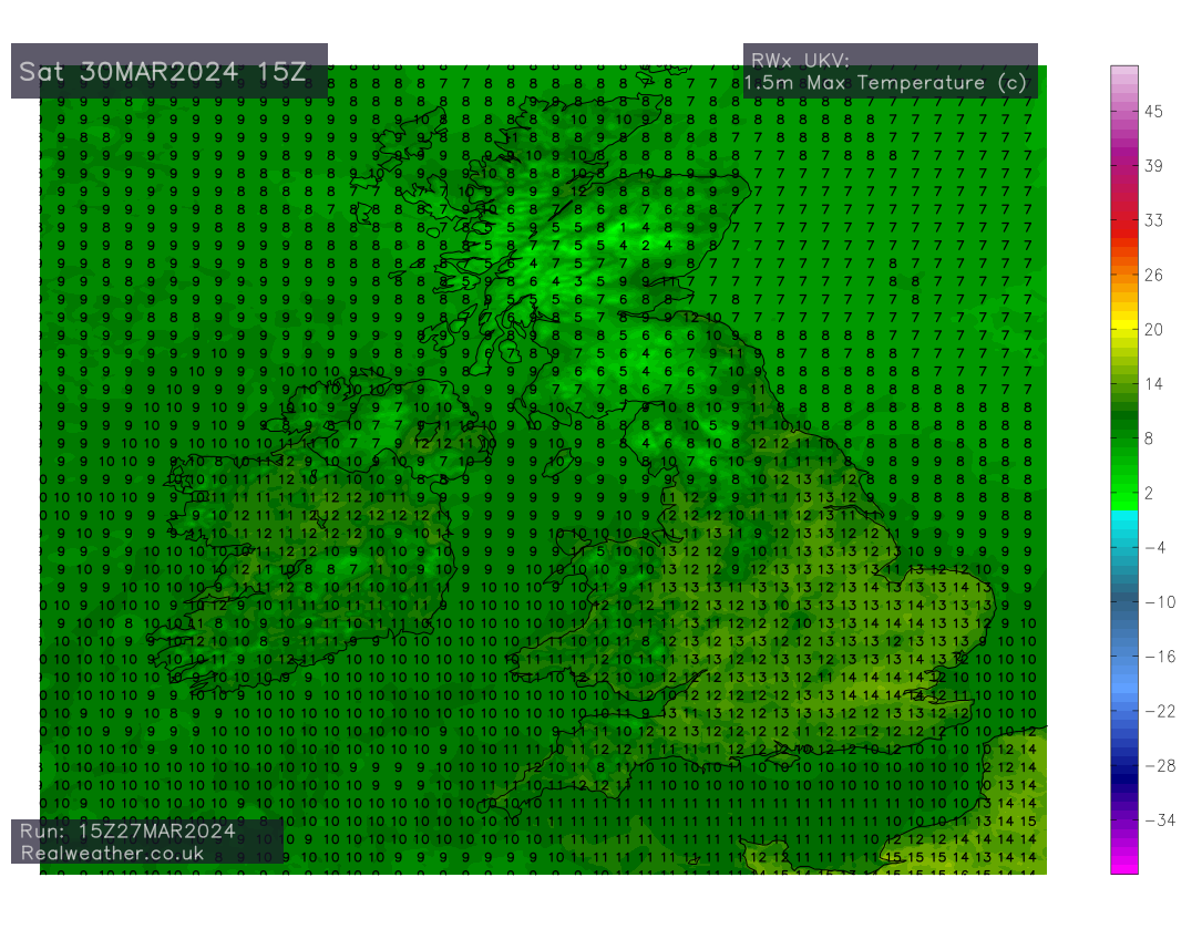
Saturday
Similar to Friday with sunshine and showers, however showers will be less heavy and frequent. Perhaps more in the way of thicker cloud cover into eastern and south-eastern areas through the day.
On a whole and in terms of shower/rain amounts, Saturday is likely to be drier than Friday! However, we all know how it works with showers, some areas see the main bulk yet down the road it can be bone dry! It will certainly be Northern Ireland, western parts of Scotland and the far north of England that sees the main bulk of showers.
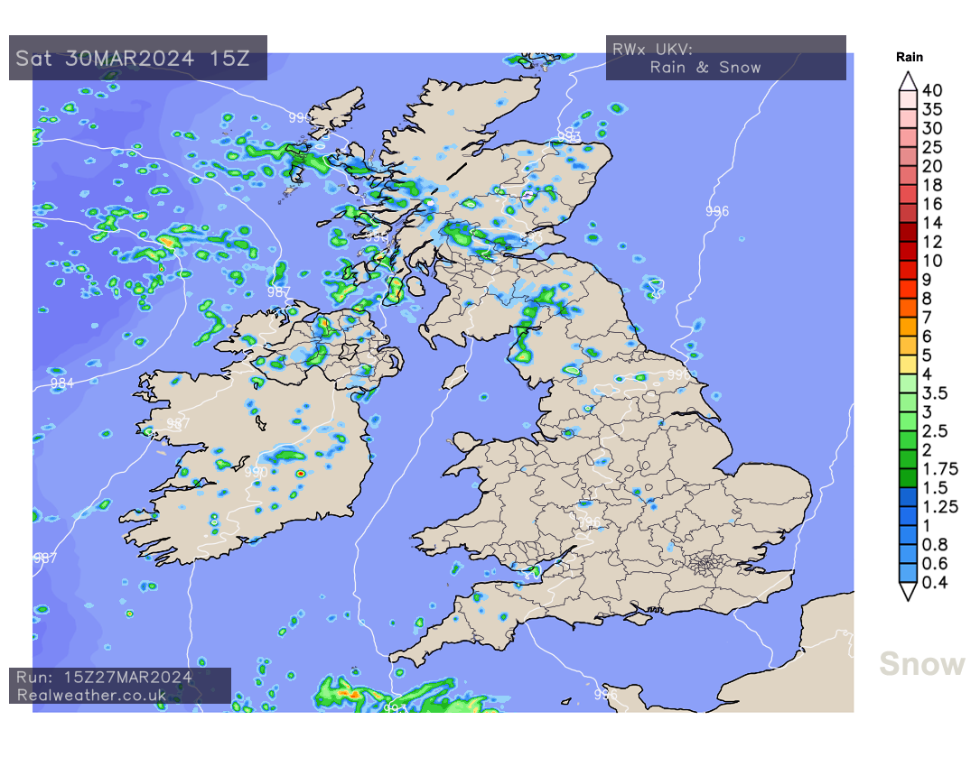
Temperatures picking up in the east, south and south-east with highs ranging from 13-15c. Still cooler in the north and west, however, temperatures trend up for much of the United Kingdom.
Sunday
Showers in the west and south-west, though few and far between, variable amounts of cloud cover with the best of the brightness across central and northern areas. Thicker cloud perhaps developing through the day in eastern and south-eastern areas introducing some patchy rain.
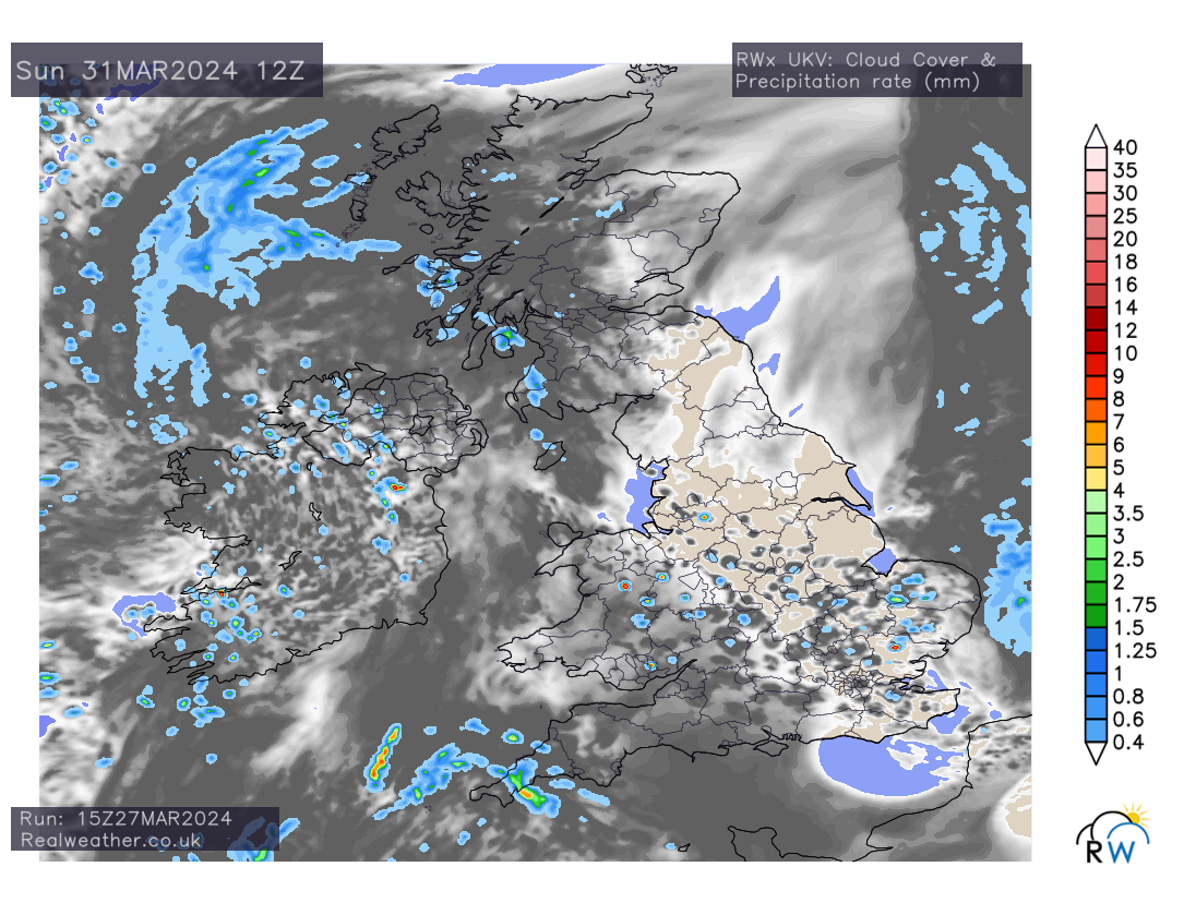
Temperatures responding well in the west, south and central areas with highs of 15/16c during any prolonged brightness.
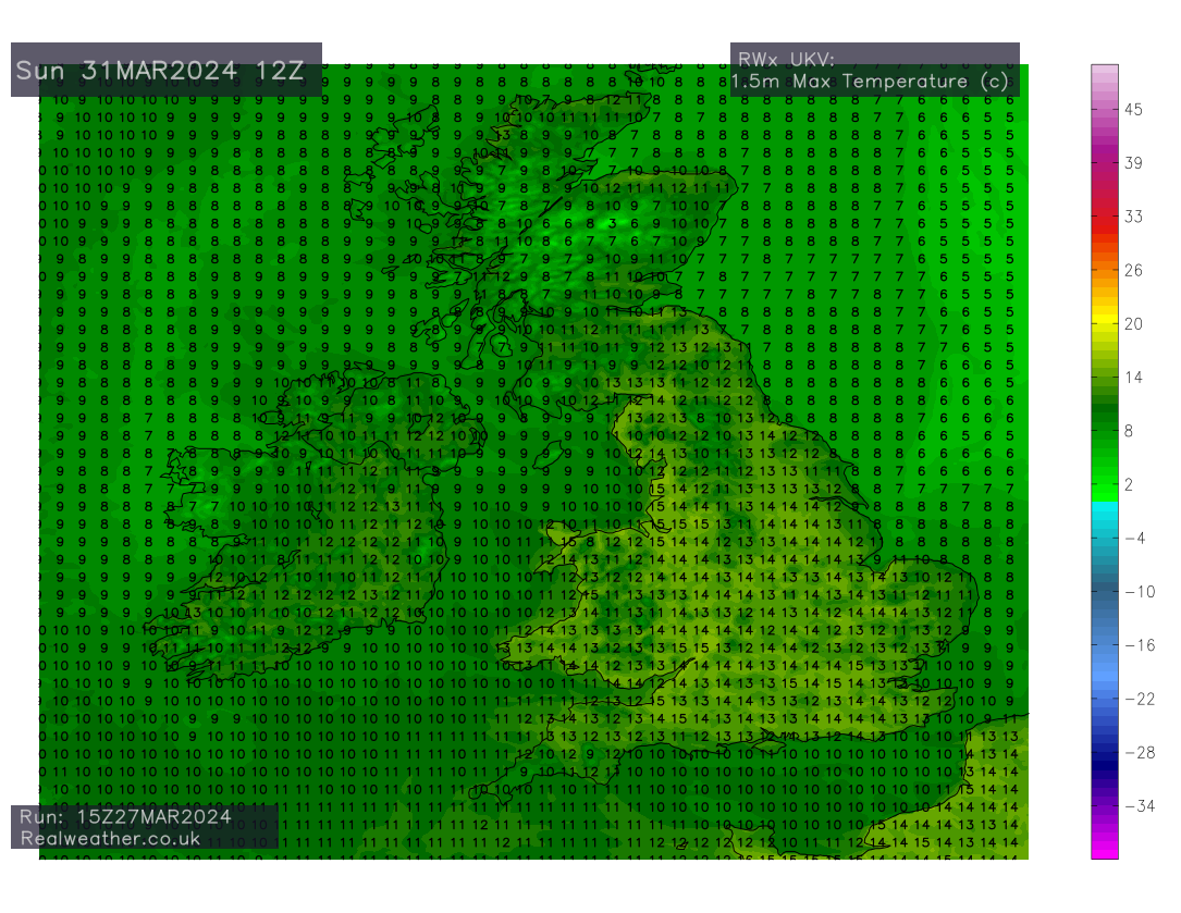
This is where the uncertainty is at the moment as some models show a general area of rain moving in from the east on Sunday, if it does, it could possibly set us up for a wet Monday!
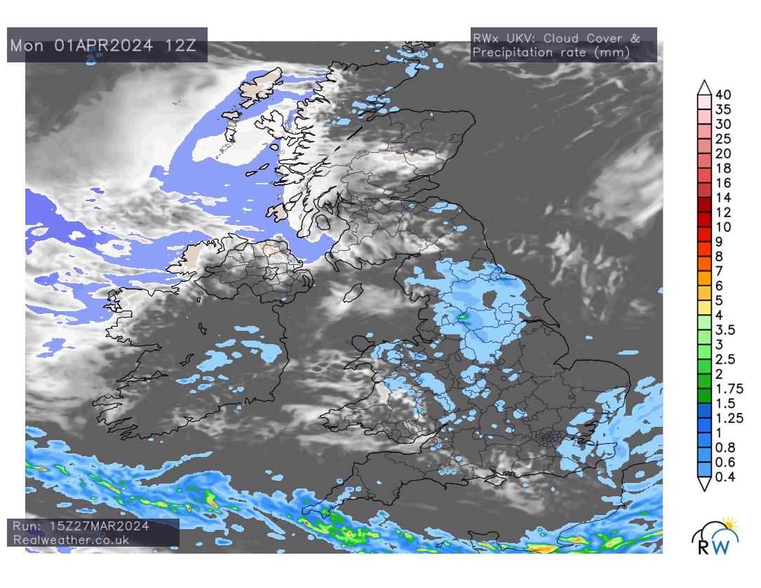
I’ll keep an eye on the forecast models in terms of this particular feature and keep you well updated for Sunday/Monday via the Facebook page and groups! Please find a quick video animation showing precipitation and sea level pressure for the next 4 days.
Lewis