
We’ve certainly experienced some very mild weather so far this Autumn with temperatures well above the seasonal average at times. Most recently we’ve seen low pressure become more influential with strong winds, longer spells of rain and showers, a pattern we’ll generally see continue throughout much of November, whilst remaining on the milder side.
This week we do see higher pressure moving in from the near continent bringing a temporary spell of settled weather, especially across southern and eastern parts of the United Kingdom, however it won’t last with lows waiting out in the Atlantic, ready to move into the United Kingdom on a strong Jet stream.
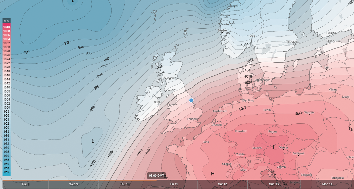
There have been signals pointing towards a change later in November and that signal is for higher pressure to develop to the west or north-west of the United Kingdom. This is something we’ve been mentioning on our Facebook page and private Facebook group over the last few weeks.
It is this change that will likely see an overall pattern change to settled and cooler weather across the United Kingdom with an increased risk of overnight frosts, however, as we head into December, signals point towards colder weather being more dominant with cold spells of weather from the east and north, though northerlies rather than easterlies are most likely.
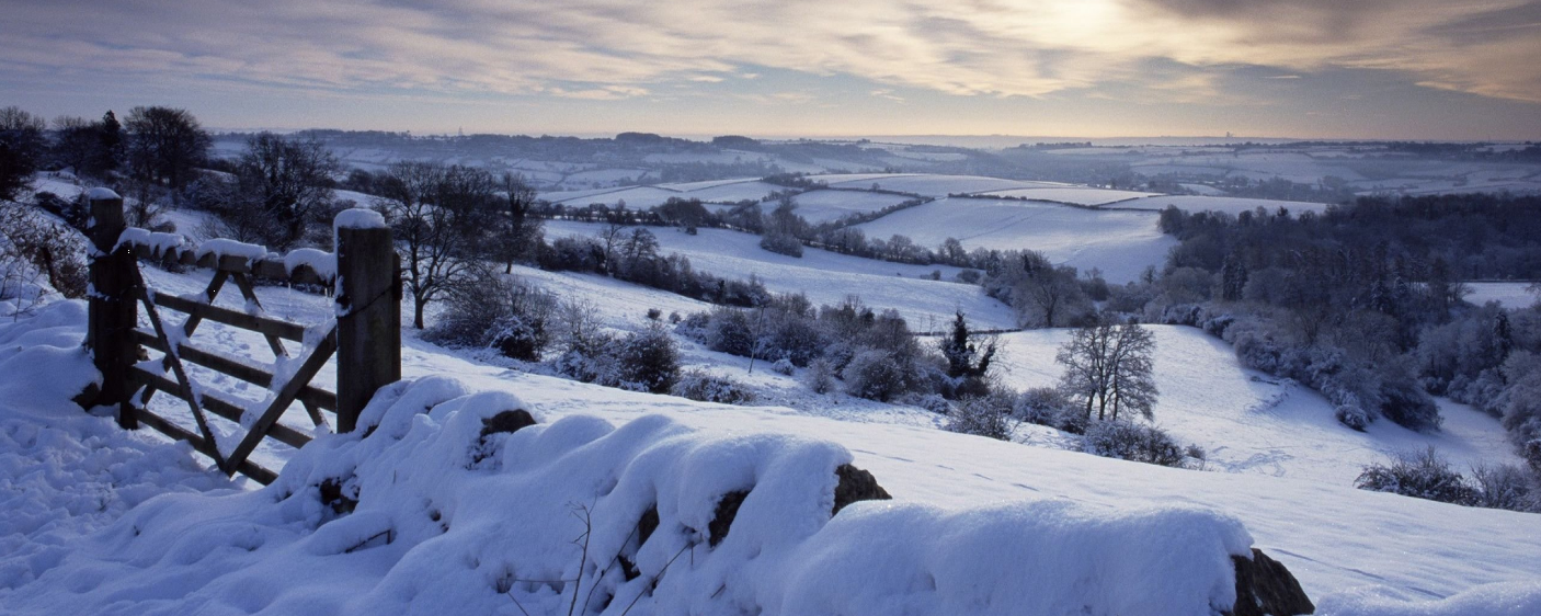
When our weather is from the north or east during the winter months, no doubt the word snow will be in our forecasts, especially for northern and eastern areas that are exposed to northerly or easterly winds.
Enjoy the milder weather for now because a change is likely to occur as we head towards December.